

Your driving distance to Washington, DC depends on your location, but a map app gives the fastest accurate estimate.
If you are asking, “how far is washington dc from me by car,” the answer depends on your starting address, route, traffic, and travel date. A trip from Baltimore may take less than an hour, while a drive from New York City, Richmond, or Pittsburgh can take several hours. This guide explains how to check your exact distance, estimate travel time, choose the best route, and avoid common planning mistakes.
How to find how far is washington dc from me by car
The most accurate way to find how far is washington dc from me by car is to enter your exact starting point into a trusted navigation app. Use “Washington, DC” or your specific destination, such as the National Mall, Union Station, or the White House area.
Follow these steps:
- Open Google Maps, Apple Maps, Waze, or another reliable navigation service.
- Allow the app to use your current location, or enter your full starting address.
- Type “Washington, DC” as the destination.
- Select the driving option.
- Compare the distance, estimated time, tolls, and route choices.
- Check the trip again shortly before leaving.
Your result may show both miles and kilometers. It may also list several routes, such as an interstate route, a toll road, or a slower local-road option.
Remember that a map app gives an estimate, not a promise. Traffic, road work, crashes, weather, and events can change your arrival time quickly.

Why your location changes the answer
The phrase how far is washington dc from me by car cannot have one fixed answer because “me” could mean almost anywhere. Your distance changes as soon as your starting point changes.
For example, these approximate one-way driving distances may help:
| Starting city | Approximate driving distance | Typical drive time |
|---|---|---|
| Baltimore, MD | 40 to 50 miles | 1 to 1.5 hours |
| Annapolis, MD | 35 to 45 miles | 45 minutes to 1.5 hours |
| Philadelphia, PA | 135 to 150 miles | 2.5 to 4 hours |
| Richmond, VA | 105 to 120 miles | 2 to 2.5 hours |
| New York City, NY | 225 to 240 miles | 4 to 6 hours |
| Pittsburgh, PA | 240 to 250 miles | 4 to 5.5 hours |
| Norfolk, VA | 200 to 215 miles | 3.5 to 5 hours |
| Charlotte, NC | 400 to 430 miles | 6.5 to 8 hours |
| Raleigh, NC | 275 to 300 miles | 4.5 to 6 hours |
These figures are general estimates. Your exact route may be longer or shorter based on your neighborhood, destination, and road conditions.
Washington, DC also covers a wide urban area. Driving to Georgetown is not the same as driving to Capitol Hill or the National Arboretum. Entering a specific destination produces a more useful result than entering only the city name.

How long does the drive to Washington, DC take?
Distance and travel time are related, but they are not the same. A short trip can take a long time if it passes through a busy part of the Washington metropolitan area.
The biggest travel-time factors include:
• Rush-hour traffic on Interstate 95, Interstate 66, Interstate 270, and the Capital Beltway
• Congestion near Arlington, Bethesda, Silver Spring, Alexandria, and downtown Washington
• Road construction and lane closures
• Rain, snow, ice, fog, or strong winds
• Sports games, concerts, festivals, demonstrations, and holiday events
• Tolls, rest stops, fuel stops, and meal breaks
A practical rule is to add at least 20 to 30 minutes to the app’s estimate for a short regional trip. For a longer drive, add more time for breaks and unexpected delays.
If your navigation app says the trip will take two hours, do not plan an important appointment for two hours after departure. Give yourself a buffer. The road into Washington can behave like a funnel: traffic may move well for miles, then slow sharply near the city.

Common routes into Washington, DC
The best route depends on your direction of travel. Several major highways serve the region.
From the north
Drivers from Baltimore, Philadelphia, New York, and New England often use Interstate 95 or the Baltimore-Washington Parkway. The parkway can be convenient, but it may have restrictions and different traffic patterns from I-95.
Drivers from western Pennsylvania and Ohio may use Interstate 70, Interstate 270, or other connecting highways before reaching the Washington area.
From the south
Travelers from Richmond, Norfolk, Raleigh, and the Carolinas commonly use Interstate 95. This route is direct, but traffic can build near Fredericksburg, Quantico, and the Capital Beltway.
Some travelers choose US Route 1 or other local roads to avoid specific delays. These roads may reduce tolls but often increase travel time.
From the west
Drivers from Charlottesville, Roanoke, and parts of West Virginia may use Interstate 66. Travelers from western Maryland may use Interstate 270, Interstate 70, or local routes.
Check for tolls before selecting a route. Some express lanes use variable pricing, so the cost can rise during busy periods.
What destination should you enter?
Searching only for “Washington, DC” may not give the best route. The city has many neighborhoods, attractions, government buildings, and parking areas.
Use the exact destination whenever possible:
• National Mall
• Smithsonian National Air and Space Museum
• Union Station
• Washington National Cathedral
• Arlington National Cemetery
• Walter E. Washington Convention Center
• Ronald Reagan Washington National Airport
• Capital One Arena
• The White House Visitor Center area
For a hotel, enter the hotel’s full address. For a meeting, use the building entrance rather than the general neighborhood. This can prevent a frustrating final-mile problem.
The last few miles often take longer than expected. One-way streets, restricted turns, bus lanes, security zones, and limited parking can make downtown driving slow.

Parking and driving inside Washington, DC
Finding how far is washington dc from me by car is only part of the trip. Parking may be the more difficult issue once you arrive.
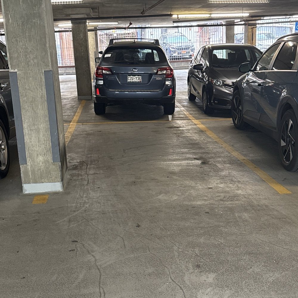
Downtown Washington has street parking, public garages, private garages, and limited visitor spaces. Rules can change by block, so always read posted signs. Some areas require payment through a mobile parking system or have time limits.
Consider these options:
• Park at a garage near your destination.
• Use a Metro station outside the busiest core and take rail service into the city.
• Book hotel parking before arrival.
• Use a park-and-ride lot when attending a large event.
• Avoid leaving valuables visible inside the car.
Washington’s Metro system can be useful for trips to the National Mall, downtown, Arlington, and nearby communities. A short rail ride may be easier than searching for a parking space in the center of the city.
A common planning mistake is measuring the drive only to the city boundary. You should measure the drive to your parking location, then include the walk or rail ride to your final destination.
Best time to drive to Washington, DC
There is no single perfect travel time, but some periods are usually easier than others. Weekday mornings and afternoons often bring the heaviest traffic.
Try to avoid:
• Weekday mornings, especially from about 6:30 a.m. to 9:30 a.m.
• Weekday afternoons and evenings, often from about 3:30 p.m. to 7:00 p.m.
• Friday afternoons before holiday weekends
• Sunday evenings when people return from weekend trips
• Major federal holidays and large public events
Leaving early can help, but it does not remove every risk. Check current traffic before departure and again during the trip. Navigation apps may suggest a faster route, but frequent route changes can be stressful and may send you onto unfamiliar roads.
For long trips, plan fuel and rest stops before entering the busiest part of the region. A well-timed break is safer than continuing while tired.

How to estimate fuel and trip costs
Your total driving cost includes more than gasoline. Estimate the full trip before you leave.
You may need to budget for:
• Fuel
• Tolls
• Parking
• Food and drinks
• Vehicle wear
• An overnight stay, if needed
To estimate fuel cost, use this simple formula:
Fuel cost = driving miles ÷ vehicle miles per gallon × price per gallon
For example, a 240-mile trip in a vehicle that gets 30 miles per gallon uses about eight gallons. If fuel costs $3.50 per gallon, the estimated fuel cost is $28 one way.
Your actual cost will vary. Traffic lowers fuel economy, especially when the vehicle spends time idling or moving slowly. Roof racks, heavy cargo, tire pressure, and driving speed can also affect fuel use.
Use your navigation app to check tolls. Some routes into Washington may include electronic tolls or express lanes. If your vehicle does not have a compatible transponder, check how payment works before using the road.
Safety tips for a drive to Washington
A safe trip begins before you pull out of the driveway. Check your tires, lights, fuel level, windshield washer fluid, and emergency supplies.
Use these simple habits:
- Set your route before driving.
- Mount your phone where you can see it without holding it.
- Keep both hands available for driving.
- Stop in a safe place before changing the route.
- Leave more space in heavy traffic.
- Watch for motorcycles, cyclists, pedestrians, buses, and scooters.
- Slow down in work zones.
- Keep an eye on changing weather.
- Take a break if you feel tired.
- Never drive after drinking or using a substance that affects your judgment.
Washington has many busy intersections and walking areas. A driver who expects only highway traffic may overlook pedestrians when entering the city. Slow down and look carefully before turning.
Weather can also change the answer to how far is washington dc from me by car. A clear-weather trip may be simple, while snow or heavy rain can make the same route slow and risky.
Mistakes to avoid when planning the trip
Many drivers make the same errors when estimating a Washington, DC road trip. Avoiding them can save time, money, and stress.
• Using straight-line distance instead of driving distance: A map may show a short geographic distance, but rivers, highways, and restricted roads can create a longer drive.
• Checking only the distance: Miles do not show congestion, tolls, or parking difficulty.
• Leaving without checking traffic: A route that was clear an hour ago may be crowded now.
• Choosing the cheapest route automatically: A toll-free road may add a great deal of time.
• Ignoring the final destination: The city center is not one single point.
• Forgetting event traffic: A game, parade, protest, or festival can affect a large area.
• Arriving without a parking plan: Downtown parking can cost more than expected or fill quickly.
• Trusting the first estimated time: Navigation times can change as conditions develop.
In practical trip planning, the most useful question is not only how far is washington dc from me by car. It is also: Which route is safest, what will it cost, and where will I park?
A simple planning method that works
Use this five-step method for almost any trip to Washington:
- Enter your exact starting address.
- Enter the exact destination or parking garage.
- Compare at least two routes.
- Check traffic, tolls, weather, and event alerts.
- Add a realistic time buffer.
For a short trip, a 30-minute buffer may be enough. For a long trip, add time for rest, food, fuel, and possible delays. If you have a flight, interview, medical appointment, or timed tour, plan to arrive early.
I have found that the most useful travel estimate is the one that includes the full journey, not just the highway portion. The drive, parking search, walk, and security check all count. Thinking this way makes the trip feel less rushed and helps prevent last-minute decisions.
Frequently Asked Questions About How Far Is Washington, DC From Me by Car
How can I check how far is washington dc from me by car?
Open a navigation app and enter your current location or full starting address. Then enter your exact Washington, DC destination and select the driving option to see miles, time, traffic, tolls, and route choices.
How far is Washington, DC from Baltimore by car?
Washington, DC is usually about 40 to 50 driving miles from Baltimore, depending on the starting and ending points. The trip often takes about one to one and a half hours, but rush-hour traffic can make it much longer.
How far is Washington, DC from New York City by car?
The drive from New York City to Washington, DC is commonly about 225 to 240 miles. Travel time often ranges from four to six hours, depending on traffic, stops, weather, and the selected route.
Is driving to Washington, DC better than taking the train?
Driving gives you flexibility and may work well when traveling with luggage or several people. Rail service can be easier for downtown visits because it avoids traffic and parking, so compare the full cost and travel time.
Does Google Maps show the exact driving distance to Washington, DC?
It shows an estimated driving distance based on your selected starting point, destination, and route. The result can change because of traffic, construction, road closures, and route updates.
Should I drive or use public transportation after arriving?
Public transportation may be more convenient for central Washington, especially near the National Mall and downtown areas. If you drive, consider parking at a garage or using a Metro station outside the busiest core.
Conclusion
The answer to how far is washington dc from me by car depends on your exact location, destination, route, traffic, weather, and parking plan. A navigation app can provide the best current estimate, but smart planning means checking more than miles.
Enter your full addresses, compare routes, review tolls and traffic, and add extra time for delays. Before leaving, check parking and consider Metro service if you are visiting the city center. Use these steps to plan with confidence, then check a trusted map app for your live route and share your travel experience with other readers.